Walk This Way: Blanchland
In a new series Living North tackles a series of the most beautiful walks of varying length in and around the region


Start: Car park
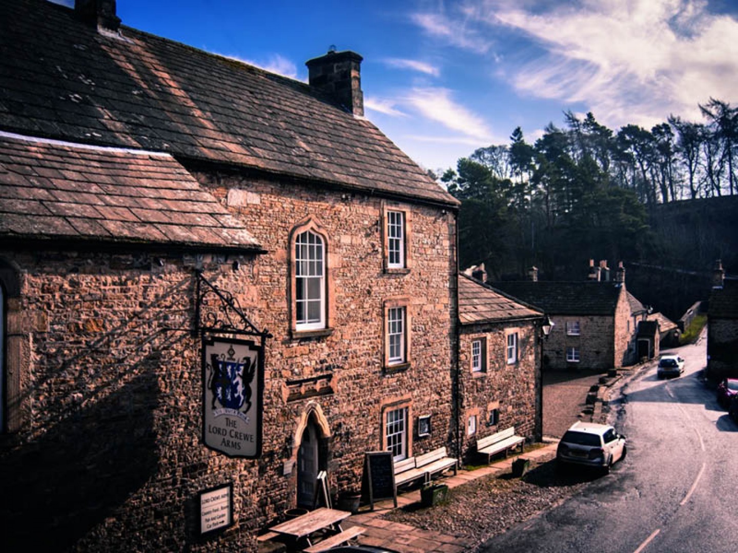
Finish: Lord Crewe Arms
Distance: 3.5 miles
Time: 1.5 hours
Difficulty: Easy. There are two short climbs. The route takes in short sections of road but is otherwise across open field and tracks/paths.
Footwear: The walking is fairly good but can be muddy, particularly along the farm tracks so wellingtons or walking boots are recommended.
OS Map: Explorer 307
Other: Dogs would need to be on a lead for the majority of the route as it passes through fields that may hold livestock. The route contains ladder stiles and gateways.
Parking: Public car park in village. Honesty box £1
The Route
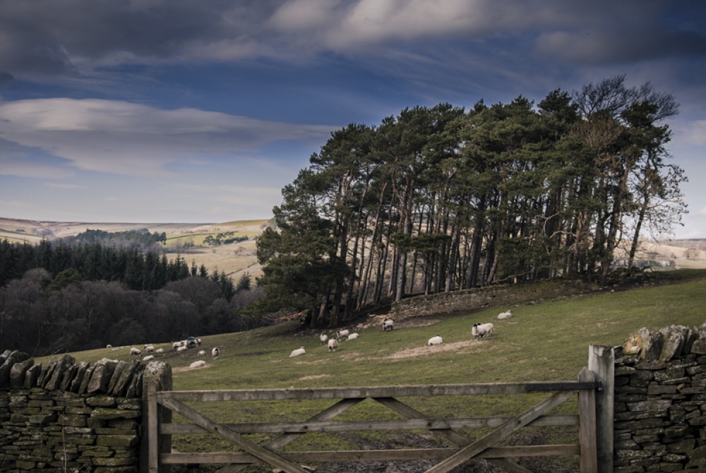
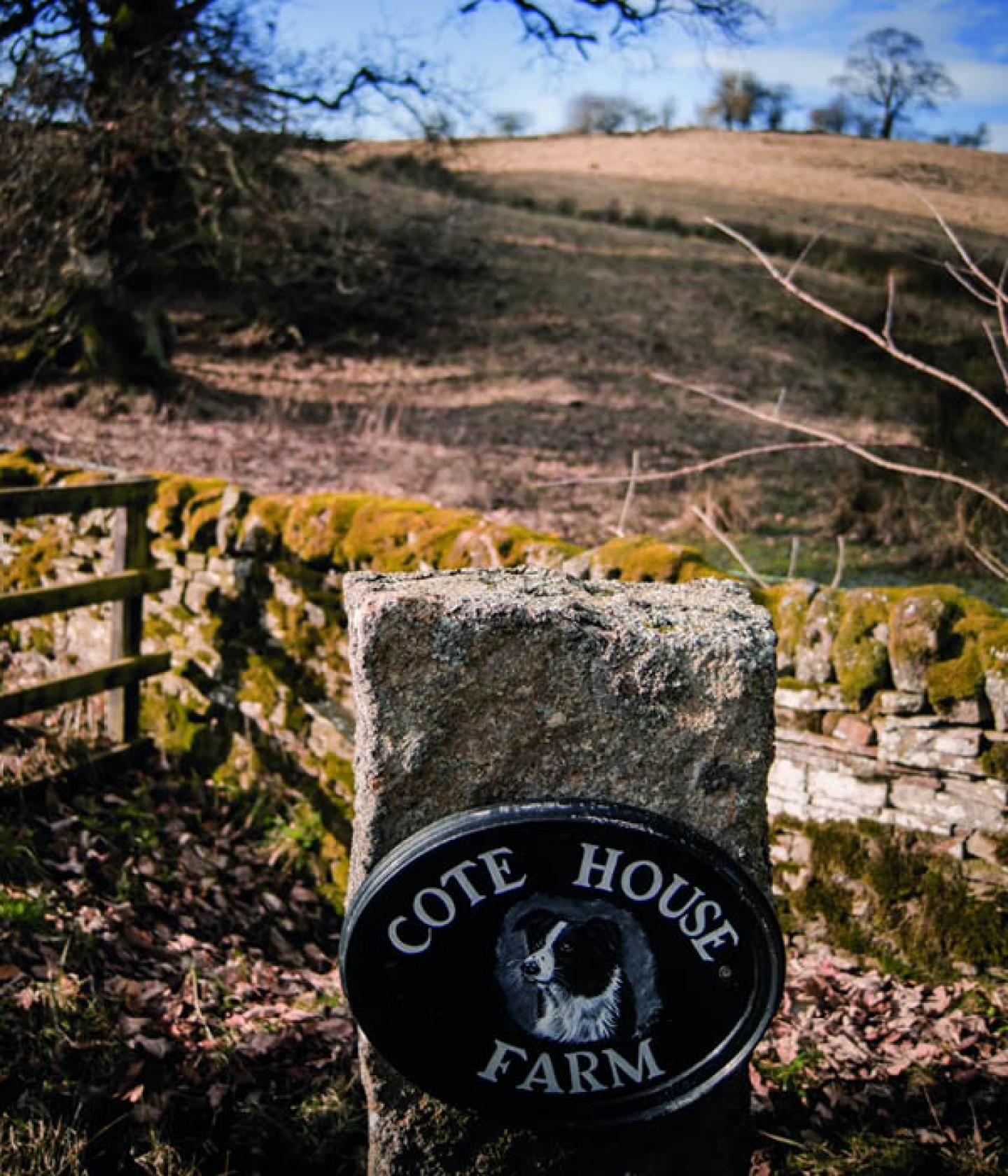
From the public car park on the north edge of the village (1) turn left up a slight incline along what was once the drove road used to move cattle to and from Hexham. Take the left towards Cote House (2) farm and follow this track up the hill. As it flattens out and turns slightly right towards the farmhouse join the footpath through a marked gate on your left. Continue across this field and exit via the ladder stile to the left of the main gate.
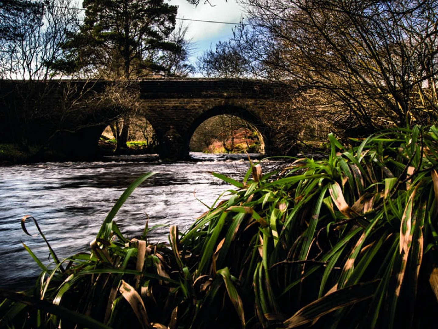
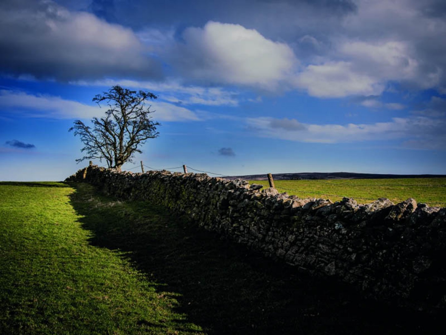
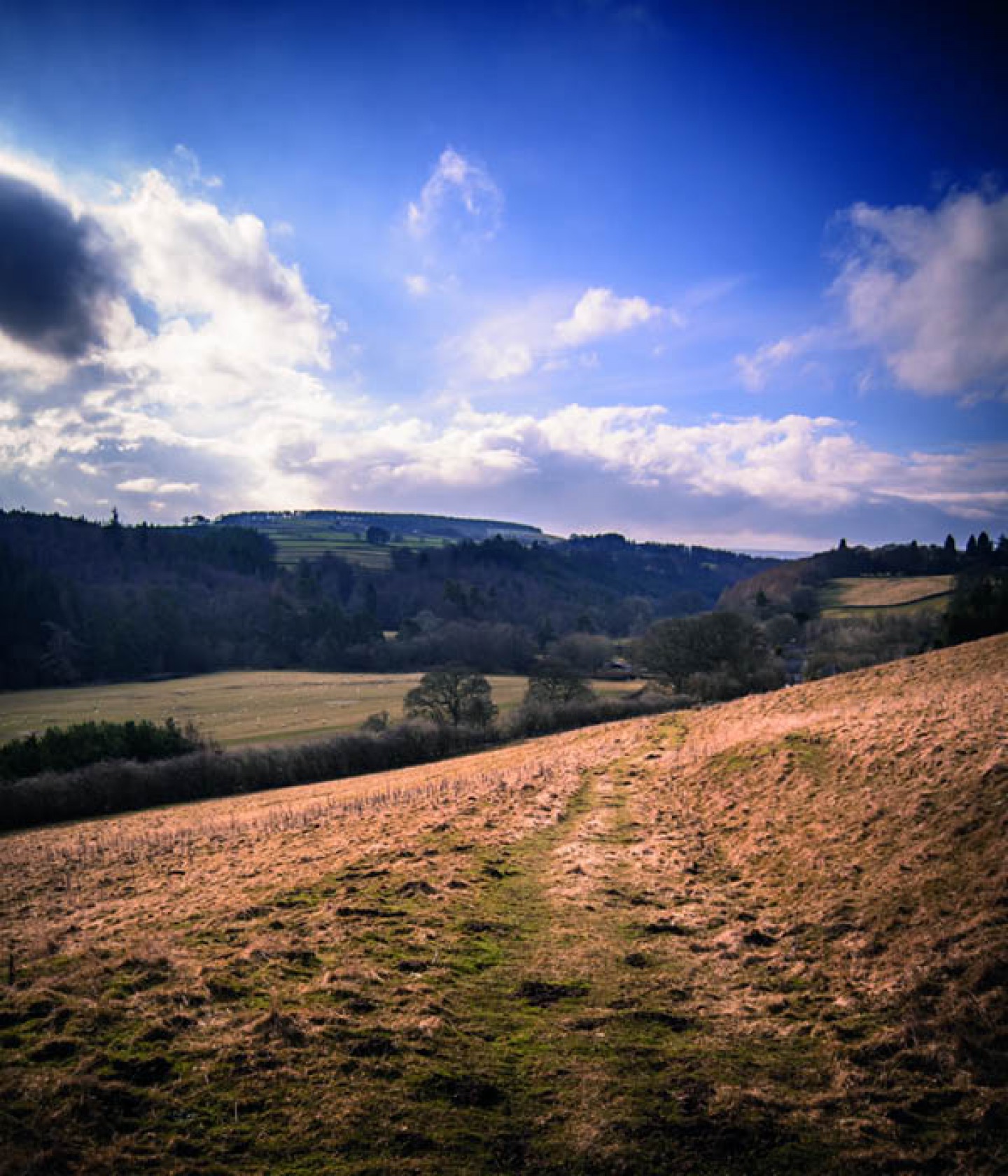
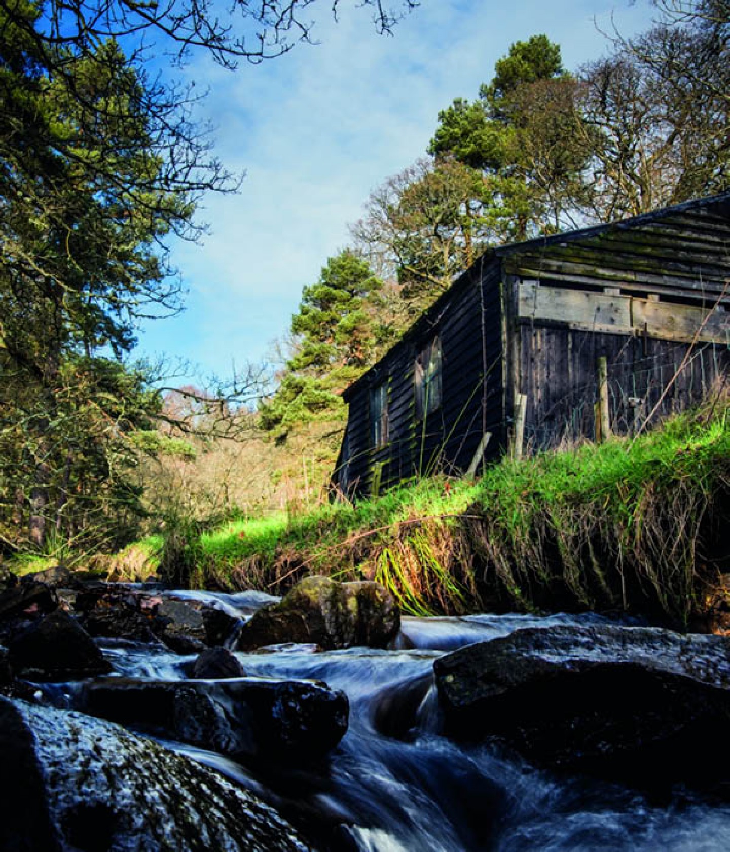
From here follow the track diagonally down across the field, pausing to take in the view across the valley (3). Exit over the ladder stile and turn right onto the lane. Continue through the hamlet of Baybridge. Follow the lane round and over the Derwent River into County Durham (NB there is a picnic site at Baybridge next to the river)(4). Continue left and take the signed footpath left off the lane, through the gate and into the woods. After a short distance you will cross a small stream. Turn right up the hill immediately after this and follow the path to the top edge of the woods.
Enter this field via the stile and cross the field bearing right as you reach the fence. Follow this to the gate in the top left hand corner of the field. Exit through the gate and turn left on the farm track. Follow the track through the gateways all the way to Allenshields farm. Enter the farmyard through the large red gates and continue straight ahead exiting the farmyard through the gate and onto open farmland. Head diagonally left across this field to the ladder stile (5,6,7). Follow the line of the dry stone wall across the next field and to a further ladder stile. Once over this stile head across the field towards the houses (diagonally left) and exit the field via the gate onto the road. Follow this road down the hill to the ‘T’ junction. Turn left following the road round and over the bridge back into Blanchland (8).


Turn right as soon as you are over the bridge, cutting between the bridge and building to the river bank. Follow the riverside footpath until you reach a signpost for Blanchland, turn left here and follow the track up and around to the left until it reaches the road. From here cross the road and follow it (or the slightly raised footpath) left back into Blanchland, entering the village past the abbey. Turn left around the abbey and continue for a short distance down the hill to the Lord Crewe Arms (9). Or turn right around the café and up the slight hill to return to the car park.
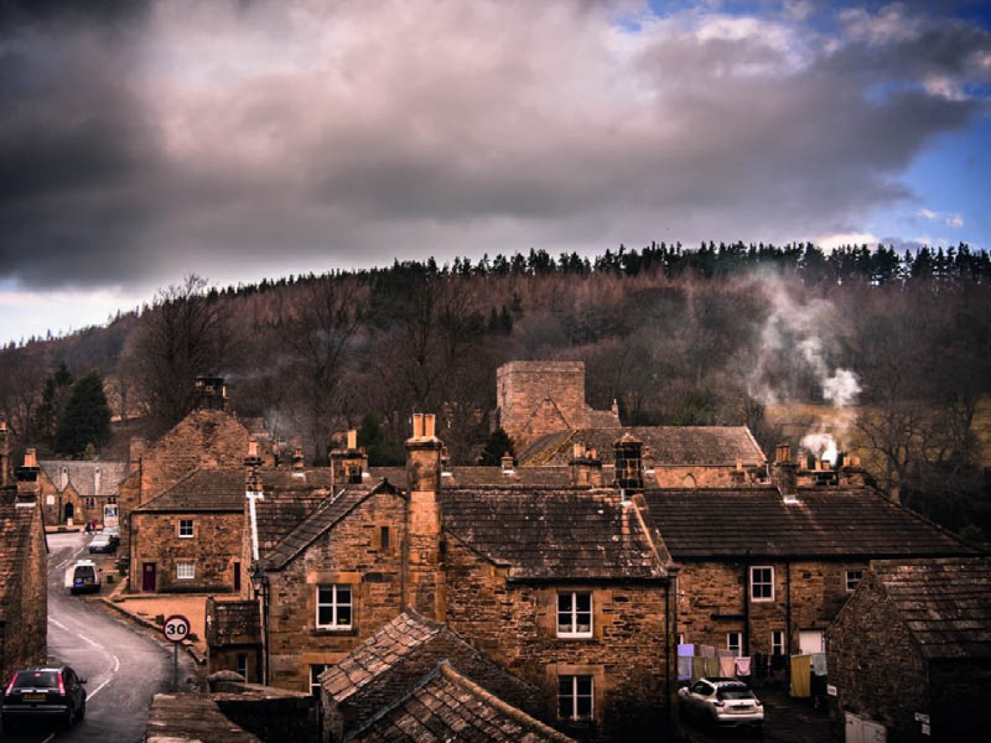
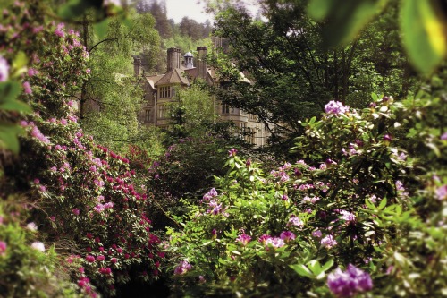
Blanchland sits in the North Pennines AONB, on the Derwent River which marks the boundary of Northumberland and County Durham. It is an attractive and largely unspoilt village, with the appearance of a ‘model’ English village. It was largely constructed under the direction of Nathaniel Lord Crewe, the Bishop of Durham (1674–1722) with stone taken from the remains of the 12th century abbey and thus many of its buildings have monastic origins. The delightful Lord Crewe Arms was originally the lodge of the Abbot of Blanchland. The remains of the Abbey cloisters are still clearly visible in the pub beer garden. The original Abbey itself was Premonstratensian, a Roman Catholic order founded in Premontre by Saint Norbert in 1120. They were more commonly known as the White Canons, due to the colour of their habit. Blanchland (or white land) takes its name from their presence there. Despite their many shared ideals with the Cistercian order Premonstratensians were not monks but ‘canons regular’, not existing as a closed order but involved in pastoral care and ministry in their local parishes.
The final destination for our walk, the Lord Crewe Arms, has many interesting stories to tell and has long been linked to the Jacobite uprising of 1715. It is said to be haunted by Dorothy Forster who, as niece of the then Lord Crewe, is reputed to have ridden, in disguise, on horseback to London, rescued her brother Tom from prison, four days before his trial and an almost certain death penalty, and hid him in Blanchland until his escape to France. The pub has been a favourite of many great literary figures; WH Auden, Philip Larkin and Benjamin Britten have all frequented the inn and more recently Blanchland itself became the fictional town of Stoneybridge for the CBBC series ‘Wolfblood’.