What Will the Super El Niño Mean for Our Weather this Winter?
Here's what to expect this winter


This summer saw record-breaking temperatures across the UK, leading to hosepipe bans in many areas, an increase in wild fires and impacts on crops. Although here in the North East we didn’t experience the same extremes, and the temperatures have now dropped as summer turns to autumn, experts are warning a climate phenomenon known as El Niño will impact our weather in the coming months and beyond. So what does this mean for us in the North, and what can people really expect this winter? Professor Hayley Fowler helps us to make sense of what’s to come.
Hayley’s work covers a broad spectrum of climate-related topics. ‘I have been working on climate change and climate change impacts since I started my PhD in 1997,’ she says. ‘I’ve looked a lot at drought, [and] particularly more recently extreme rainfall events and flooding. I look at how things are changing in the real world and how climate models predict these types of extreme weather events will change in the future.’ Hayley is a member of the UK Climate Change Committee’s Adaptation Committee, and has advised the UK Government on climate resilience through the Department for Energy Security and Net Zero Science Expert Group, as well as being internationally recognised for pioneering downscaling techniques that bridge climate modelling and real-world applications.
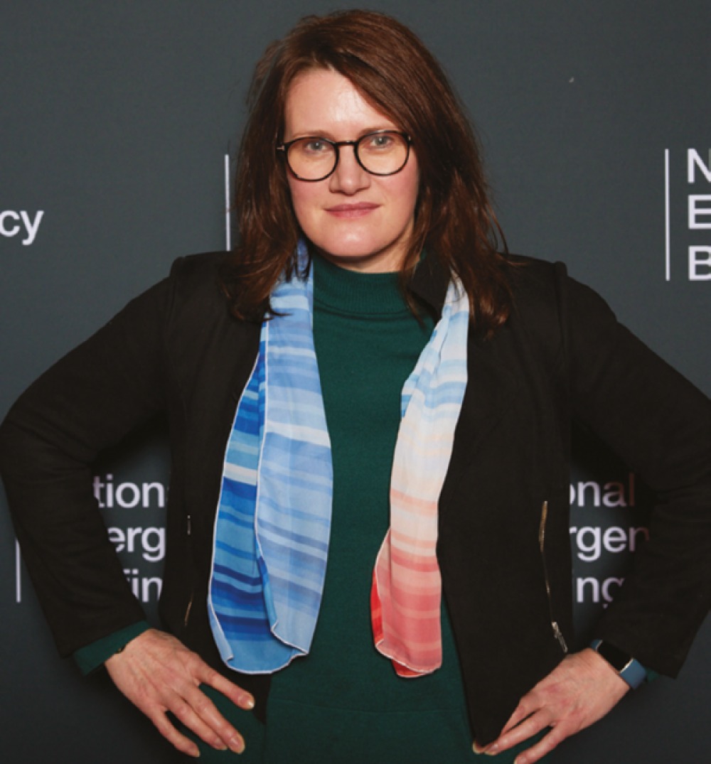
In making sense of the past few months in the UK, Hayley acknowledges that this has been an intense period for the country. ‘It’s been quite unprecedented, particularly in the south of the UK, but even in the North we’ve seen record summer temperatures this year,’ she says. ‘They’re higher than any other year on record for the last 150 years or so that we actually have records for, and it’s quite a significant departure as well. Certainly in the UK as a whole we’ve seen 40 days over 30 degrees and three days over 37. There was a part of the UK that had no rain for 62 days in a row.’ Though we fared better than other areas, conditions have still been unusual. ‘We have had a number of days that have been over 28 degrees in Newcastle where I’m based, and we have had issues with increased hospital admissions and effects on infrastructure from the extreme heat,’ she explains.
The North East in particular has a few key characteristics which were beneficial during the hotter months. ‘I think one thing that we did have in our favour is Kielder Reservoir,’ Hayley explains. ‘It was very much designed for the steel industry which has never really materialised here, and it’s over-designed for the population. So we’re very lucky in that we haven’t had hosepipe bans like other parts of the country and we still have a reasonable amount of water in Kielder at the moment.’
As well as this, proximity to the North Sea helps to keep temperatures lower, relatively speaking. ‘It’s partly to do with the fact that the North Sea is so cool. As it gradually warms up, we may see less of that cooling effect, but it definitely exerts quite a cooling effect on the region, and that cooling goes quite a long way inland as well.’
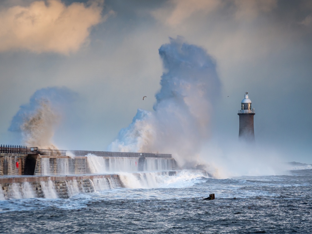
As autumn comes, and some impacts of the coming El Niño are felt, the weather will become wet and stormy, Hayley predicts. ‘We’ve seen a bit of a transition already. We’ve seen some quite heavy rainfall in the last week or so,’ she says. This is another thing the North is partially sheltered from. ‘We’re a bit lucky in the North East because we’re in the rain shadow of the Lake District. Most of those storms come from the South West or the West and we will probably have wetter conditions, and we may have some effects from increased wind too, but we’re unlikely to see the same sort of damage and extensive flooding that they get in the North West, or potentially Scotland as well.’
That being said, communities in the North should still be prepared for a potentially intense autumn and winter, as the effects of the coming ‘super’ El Niño are compounded by rising global temperatures. ‘The El Niño event this year is going to be the biggest ever recorded, certainly in living memory, but probably even worse than the El Niño event of 1877 which is [currently] the biggest ever recorded,’ says Hayley. ‘And that means there’s going to be a huge amount of heat released from the Pacific Ocean which is already happening. That in turn means that autumn and winter will very likely be wet and stormy, and then winter may end with a bit of a cold snap.’
El Niño as a phenomenon is not uncommon, however they are increasing in severity. Previous strong El Niños took place in 1995 and 1996, and El Niño years were also associated with 2015’s Storm Desmond and 2023’s Storm Babet. ‘I’m sure that people will remember Storm Desmond – it caused devastation in the Lake District. They had the highest daily rainfall ever recorded [and] there were lots of bridges washed away, landslides, and massive flooding,’ says Hayley.
Contributing to this intensity is a rapidly rising global surface temperature. ‘The last three years the global mean surface temperature has been 1.5 degrees above pre-industrial temperatures,’ Hayley explains. ‘That doesn’t sound like a lot to a member of the public but actually that means heat waves are about four degrees hotter in the UK and rainstorms are more intense. You get intensifications of maybe 10–15 percent.
‘And it has an impact on winter rainfall more generally where we’ve had about a 10 or 15 percent increase in winter rainfall in the last 30 or 40 years just from that warmer atmosphere. El Niño is stronger this year and it’s happening in a warmer climate anyway. You’ve already got wetter winters because of climate change and then on top of that you’ve got your El Niño which brings you even more storms and wetter conditions, so you’ve got this double whammy of El Niño and climate change.’
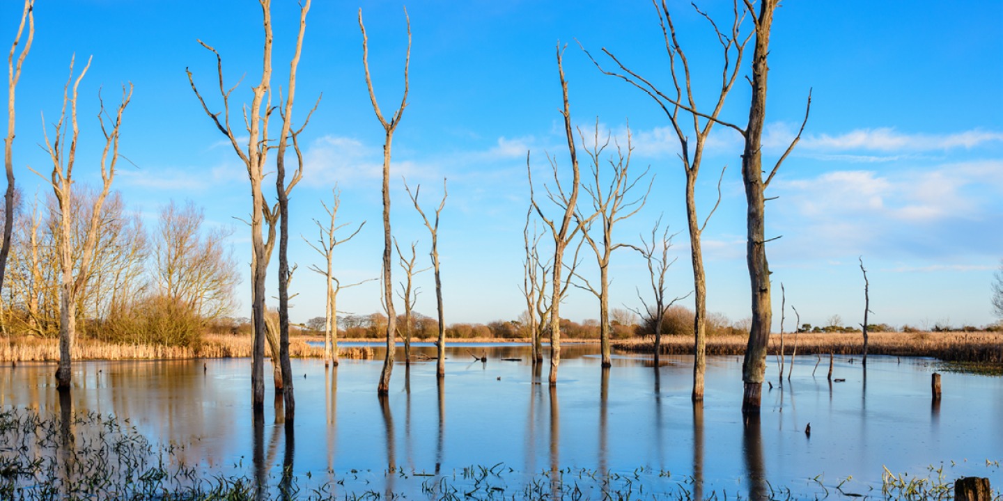
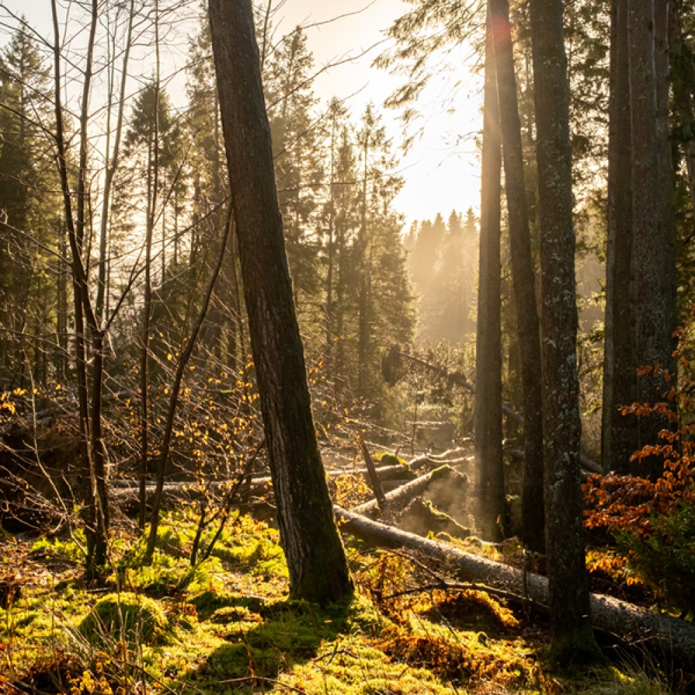
When we dare to ask about the possibility of a white Christmas, Hayley kindly doesn’t dash our hopes too thoroughly. ‘Well, I don’t know. That’s the thing, isn’t it? You can’t predict that with any certainty. But certainly autumn into winter it’s very likely very wet, stormy and warm as well.’
So what can be done to mitigate the impact? Fundamentally, Hayley says, reducing fossil fuel use as fast as possible is the only way to solve the problem. ‘Something I said at the National Emergency briefing in November, is realistically this is the least extreme climate you will experience in your lifetime, or until we basically get to net zero,’ she says.
But as governments continue to work towards this goal, there are steps that communities and individuals can take ahead of this winter and the coming summer to adapt to the expected weather extremes. ‘One of the things that people probably haven’t thought about too much is heat pumps. It’s something we talked about in our A Well-Adapted UK report. They’re something that obviously uses electricity rather than gas and we can generate electricity with renewables so it can be basically a net zero option. They not only heat up your house, but also you can use them for cooling as well, and if you buy the newer systems they can do air conditioning too,’ says Hayley. ‘If you do go for that, you need to invest in making sure your house is well-insulated and draught free, so that’s an additional cost.’
Being mindful of how you insulate your home is another key factor in regulating temperature, and stopping the heat from entering your home in the first instance is important. ‘The heat comes in through the windows so one of the key things you need to do is to shade your south-facing windows during the day. A lot of people try to do this internally but actually the heat still comes in through the glass,’ Hayley explains. ‘External shutters are the obvious solution, but most windows in the UK open outwards. If you are having your windows replaced, think about having windows that come inwards and then you can have external shutters. Otherwise, you can get special types of glass that actually reflects the solar radiation so it doesn’t let it into your home.’
Another step that both councils and individuals can take is to introduce more green spaces which help with both flooding and temperature reduction, making them a great year-round preventative. Hayley notes a famous example in Copenhagen where a large roundabout was transformed into a green space. ‘It would be like one of the ones off the central motorway, or say where 55 Degrees North is, about that sort of size,’ she explains. ‘They basically put trees, parks and benches there and it reduced the maximum temperatures by eight degrees in the surrounding area which is amazing.’ The evaporation from the vegetation uses heat, and also serves to trap water.
Hayley also mentions that in Newcastle the council recently created a new depression in the Town Moor which will help with drainage during heavy rainfall as it lies above one of the rivers which flows through the city. An awareness of flood patterns is essential to managing them, and positive advancements are being made with help from Newcastle University. ‘My colleagues at Newcastle University are doing some modelling work with [the council] because we’ve got these highly detailed, high-resolution models of the water flow around the city when it rains a lot, and you can work out where that water is going to go,’ Hayley explains. ‘So if you put some interventions in place to either store the water underground or to slow it down in some way then you can control the flow of flooding. The city council have got quite a few of these schemes they’re thinking about at the moment, and are trying to implement.’
The way forward, Hayley says, is two-fold – reduce fossil fuel use as rapidly as possible, and adapt to more severe weather patterns in the meantime. ‘Ultimately the climate is already changing and unless we stop burning fossil fuels it’s going to continue to get hotter and wetter with all of those weather extremes – we’ve got to adapt,’ she says.