The Best Routes to Explore 40 Miles of Trails at Cragside
Northumberland has so many stunning walking routes stretching across the county, but at Cragside you can find different walks for every kind of explorer


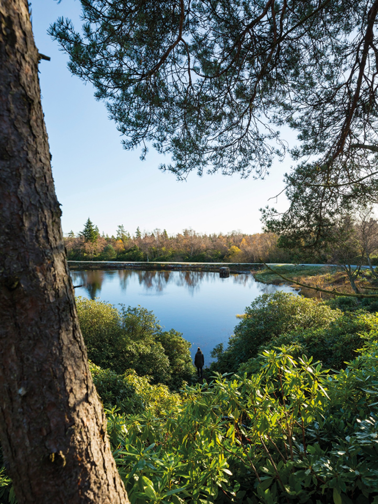
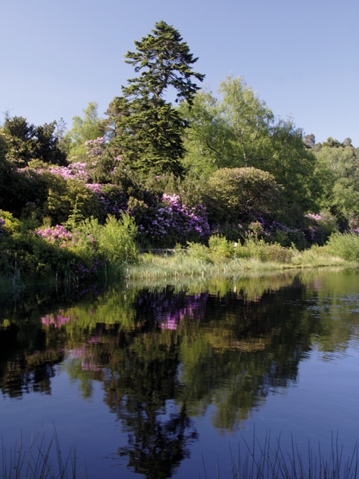

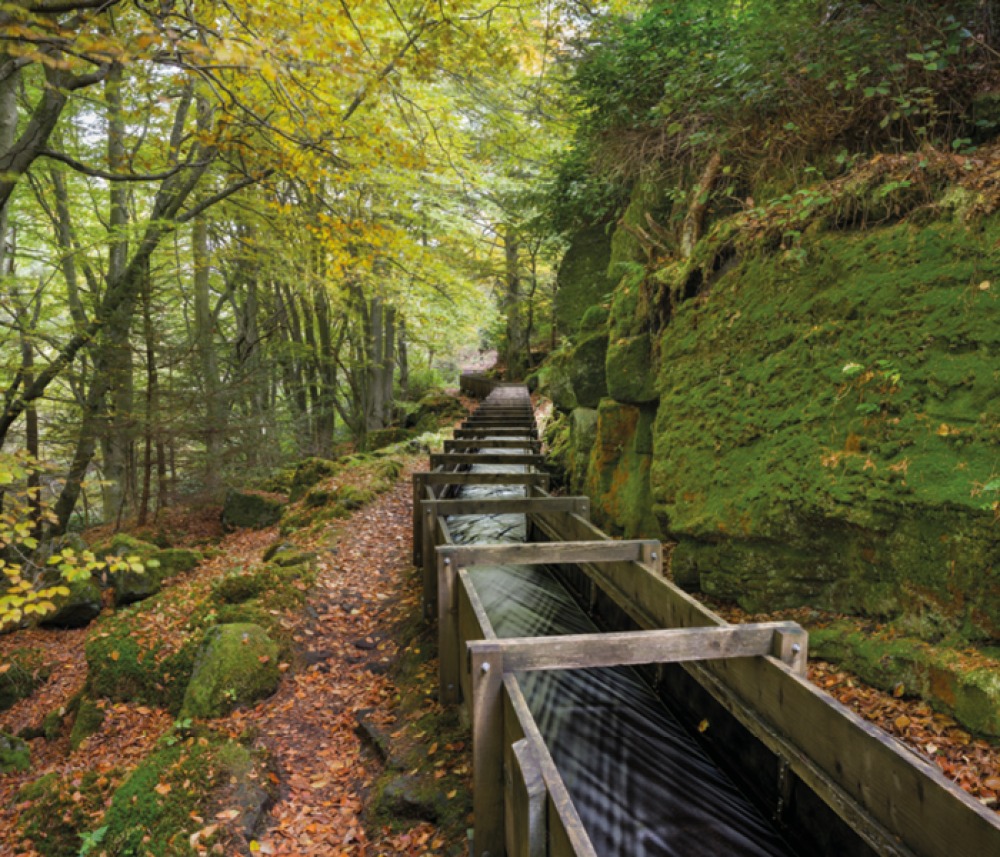
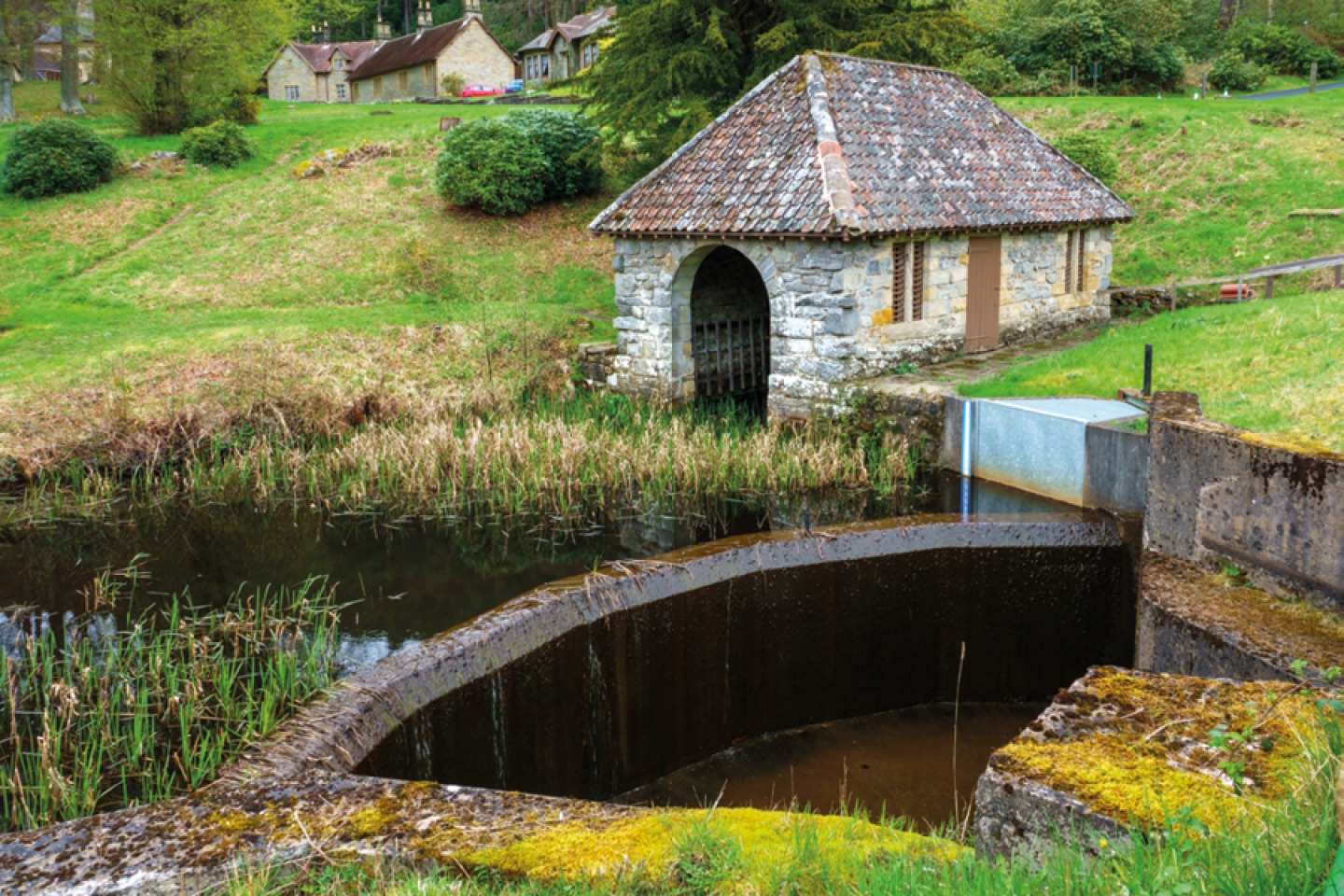
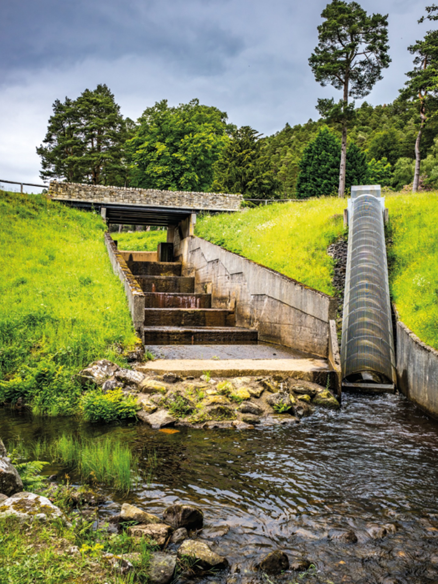
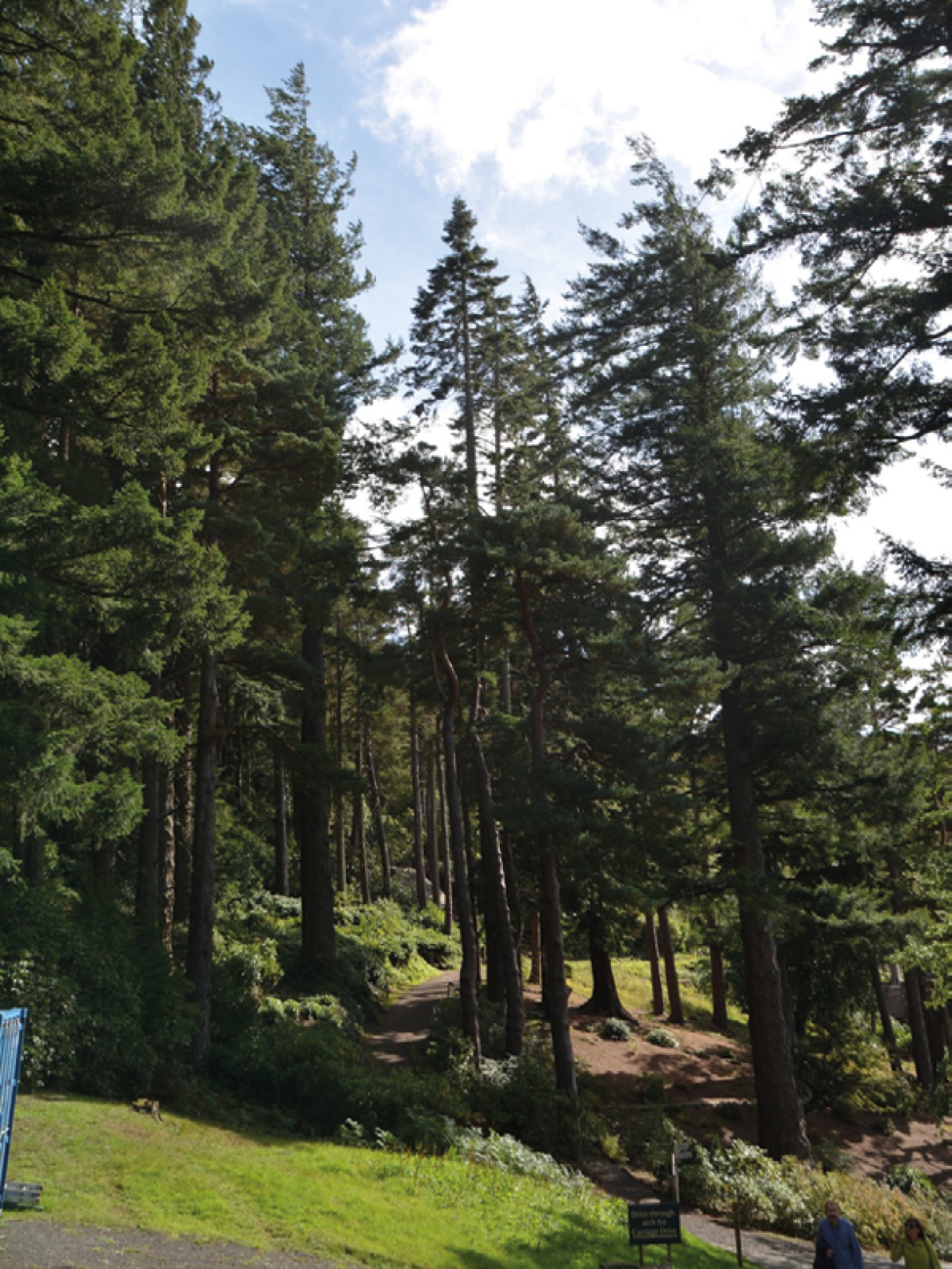
The Hydro-power Trail starts at the Nelly’s Moss car park. Taking approximately four hours and described as challenging, the dog-friendly route follows purple markers through the grounds as you discover more about William Armstrong’s engineered lakes and experimental technologies that were used to generate hydroelectricity and power hydraulics. Passing the timber flume where Cragside’s hydro-electricity system began and Nelly’s Moss, the twin lakes at the top of the grounds that were the vital water stores for generating the hydro-power, the route also takes you to the original Powerhouse where William Armstrong turned water into light. It also takes you past the impressive Archimedes Screw, Cragside’s modern water-powered generator which now lights the house, through the Pinetum with its towering trees, and over Tumbleton Lake dam.
Shorter, but hillier and possibly more challenging as a result, the Building Cragside Walk gives you more of a fascinating insight into William Armstrong’s engineered estate as you climb over boulders and duck through stone tunnels. The full trail is around two and a half miles and will take up to two hours, and whilst it is deemed dog friendly there are some large, uneven rocks to cross over which may be a challenge for some dogs. Starting at Dunkirk car park look out for the yellow waymarkers which will lead you out of the car park, past Dunkirk Cottage to stone steps leading up to Cockcrow Stone, following the stone path through the trees with steep cliffs to your left. Carrying on uphill you’ll have to clamber over stone boulders to the top of the hill and a woodland clearing, weaving through rocks and roots until you reach Cragend Quarry where stone was mined to build the house and Cragside’s rock garden, and you will find the remnants of the original steam stone cutter. The loop then takes you down a steep descent between the rocks and you will need to duck under some sections until you reach the stone steps back to Dunkirk car park.
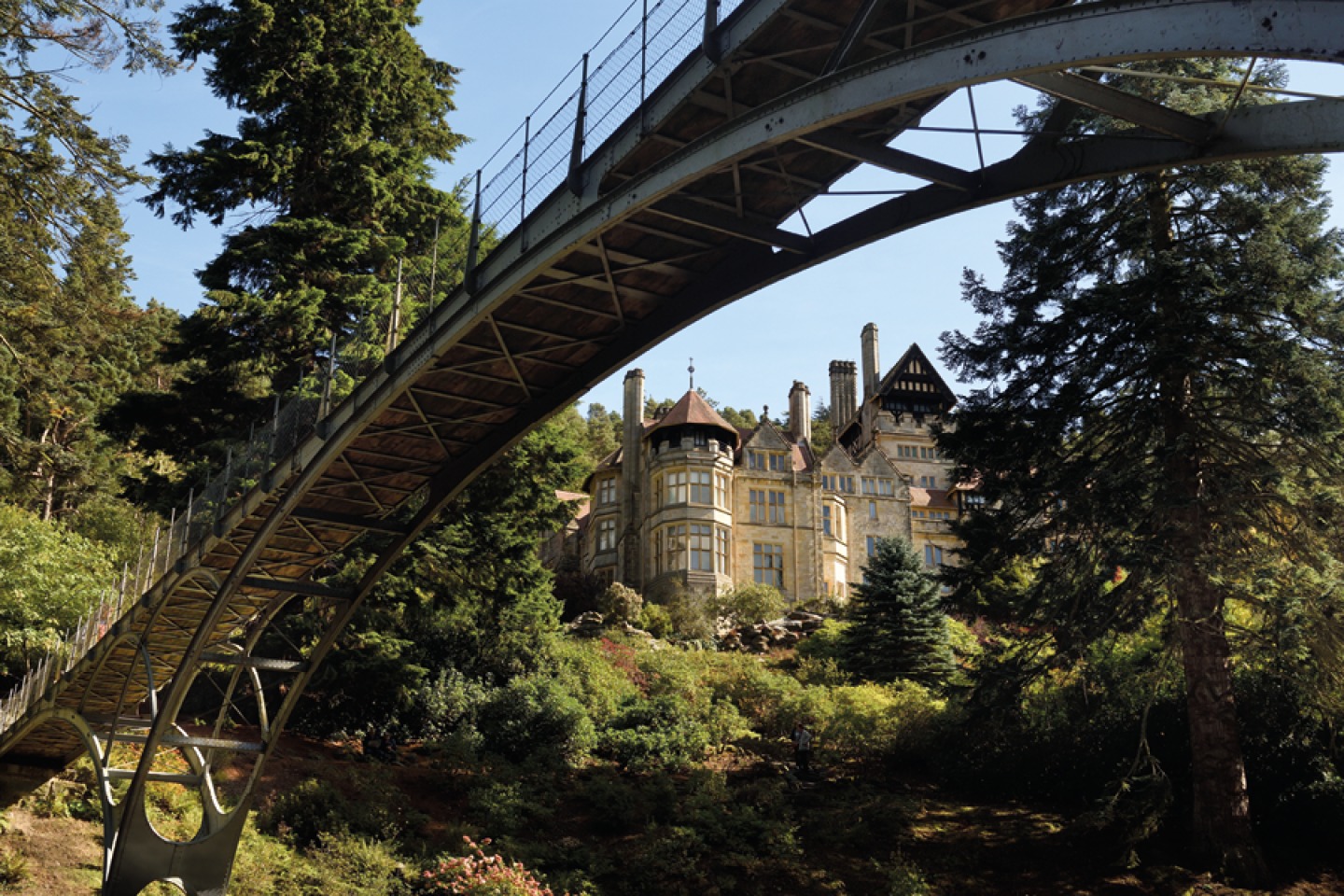
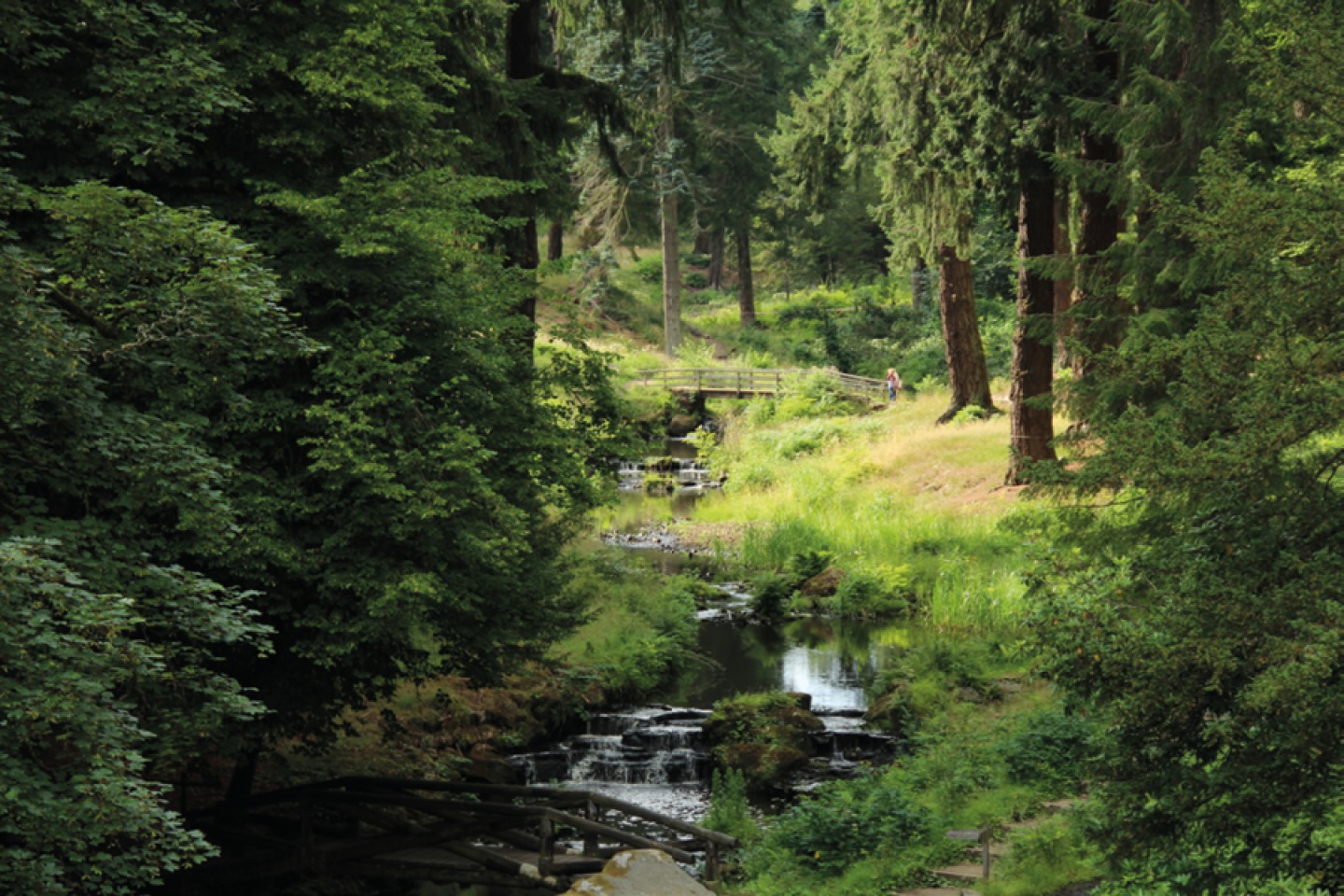
The Armstrong Trail takes in some of the most dramatic scenery at Cragside as you follow the flow of water around the manmade Tumbleton Lake, stroll along the meandering path that hugs the Debdon Burn and stand at the foot of some of the tallest trees in the country before climbing the stone steps of the rock garden towards the house. Green waymarkers will show you the way along this two-mile route which starts at Cragside’s Visitor Centre, overlooking Tumbleton Lake. Keep the lake on your left and take the estate drive to the right heading uphill towards Tumbleton Cottages before taking the track that follows the curve of the lake, over a small footbridge and across the dam with the boathouse on your left. Opposite the boathouse is a set of steps which run parallel with the Archimedes Screw – Cragside’s modern water-powered generator. Take these steps to a small wooden bridge at the bottom of the bank where you’ll see the Pump House, where William Armstrong adapted his dock-side crane technology to power hydraulics, and then on the right, continue to follow the path into Debdon Valley when you will see the house and Iron Bridge up ahead. Cross the low-level rustic wooden bridge on your left and follow the stone steps up to the Iron Bridge and cross over. As you reach the end of the bridge’s platform, take the stone-stepped path on your right that curves under the bridge towards the towering trees of the Pinetum. Follow the path between the trees beside the burn and cross a small stone bridge. From here you can take the path straight ahead or bear left and enjoy a scenic detour through the Gorge - a craggy dynamited ravine with a tumbling waterfall. Water from the Debdon Burn has always flowed into the Coquet River using this route, but with spectacular vision on a big scale, the Armstrongs blasted this rugged area to increase the waterflow and make the valley more dramatic. Rocks and boulders were carefully placed and shaped to engineer an impressive cascade and add further drama to an already extraordinary landscape. As you come to the end of the route you’ll reach the Powerhouse before circling back to the house.
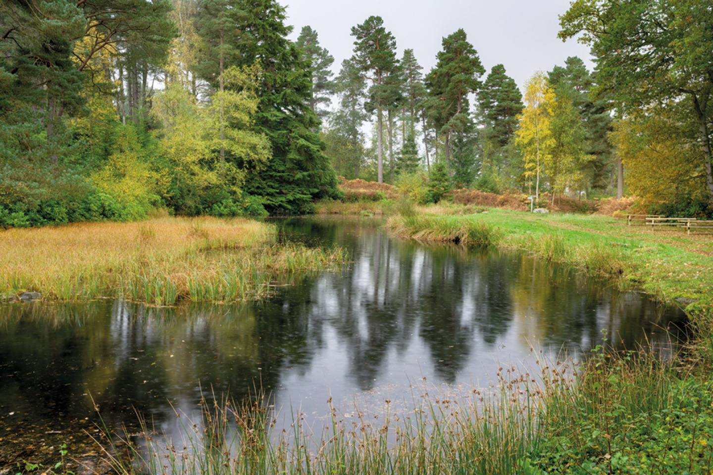
The Views of Cragside walk was devised by the estate’s rangers to help visitors explore the grand landscaped garden that wraps around Britain’s original smart home, and enjoy the amazing views across the Northumberland valley. Starting at Nelly’s Moss, it’s a challenging five and a half mile walk which should take around three hours. Starting out, keep to the path that hugs the banks of the twin lakes before crossing over the Carriage Drive, the six-mile circular route around the grounds, and following the path ahead until you reach a strategically-placed bench with breathtaking views over the valley. Carrying on, it’s a bit of a scramble down to Cragend Quarry where stone was blasted to build the house and create the Rock Garden.
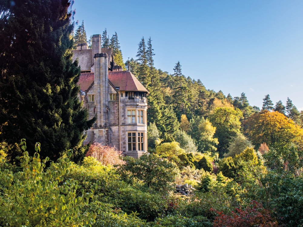
From here, look out for waymarkers that hug the cliff and keep following the path straight on past giant boulders and through gaps in the rock until you reach a grass track which leads to Slipper Lake, a small lake nestled in a clearing on the hillside. The wide track heads between the trees and you will get a picture-perfect view of the house and its spiralling chimneys framed by the trees as you head towards it. Don’t go through the archway ahead, but take the path down the stone steps and through the Rock Garden to the Iron Bridge. Over the bridge, stone steps will lead you up to the Formal Garden with views of the Simonside Hills. Head around the side of the garden and through the adjacent parkland towards the gorge and follow the path through the dynamited ravine below the house. At the top of the gorge follow the path under the tall trees of the Pinetum to another set of stone steps that climb back through the Rock Garden, round a hairpin bend and back to Slipper Lake. The trail starts to climb here towards one of the highest parts of the grounds, and once above the trees you can see for miles. The track eventually takes you back to the Nelly’s Moss car park.
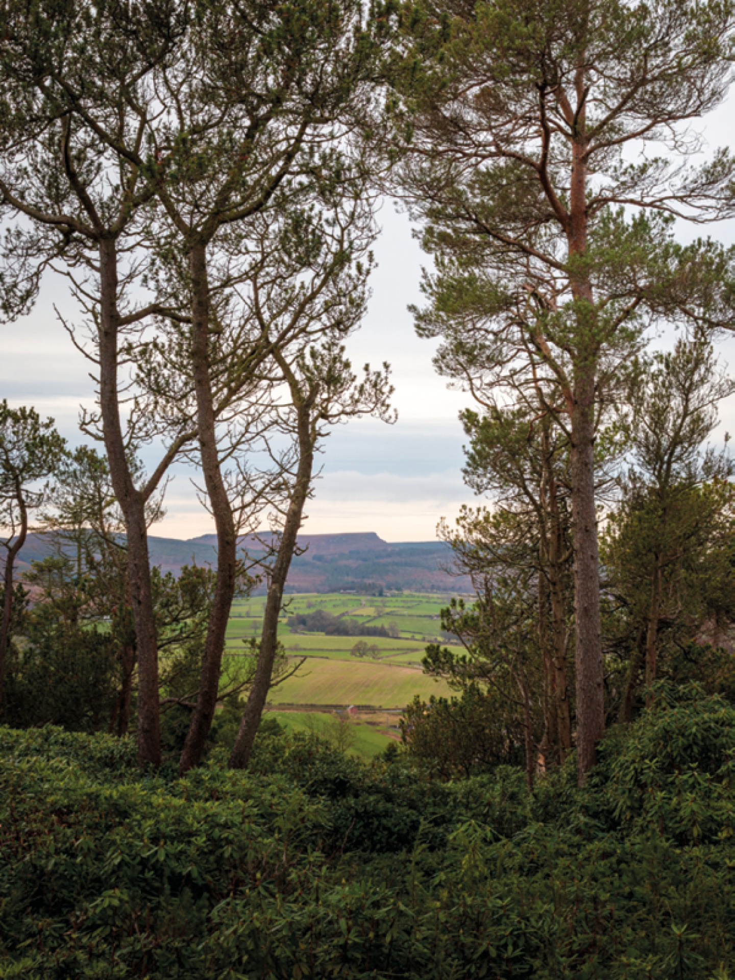
Wildlife enthusiasts will enjoy the dedicated Wetland Walk. Shorter and easier than the rest, it takes in Cragside’s driest lake. Blackburn Lake was once the largest expanse of water on the grounds before it burst its banks in 1927 and it’s now a wetland, making a great place for wildlife spotting. Begin at the Blackburn car park and follow the orange waymarkers past Blackburn Dam and you’ll soon get a sense of just how big the lake was originally. Keep an eye out for herons, frogs, toads and dragonflies as you go. Head down the grassy bank, cross the Carriage Drive and take the path signposted Cragend Quarry and carry on, weaving between rhododendrons, trees and bracken, until you reach a junction and head right, following signs for Viewpoint and Lakes. This next part of the walk is reasonably challenging with a steep incline and uneven path, but it’s worth it for the views over the surrounding countryside at the top. Rest a while before following the winding path downhill between the trees and, keeping the quarry wall on your left, follow the rocky path uphill again toward the thatched Boathouse and back to Blackburn car park.